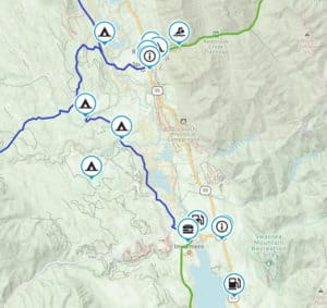
Invermere
Welcome to Invermere! There is so much amazing riding here to be had, both on and off-road. Here’s a selection of things you can ride,
Bulldogish
What’s Bulldogish? Well, for lack of a better name, it’s the network of roads and trails that wander around the Bulldog Tunnel. Encompassing a loose
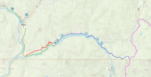
Pend-d’Oreille River route
The Pend Oreille River is a tributary of the Columbia River, approximately 130 miles long, in northern Idaho and northeastern Washington in the United States,
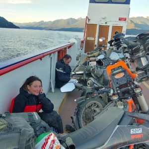
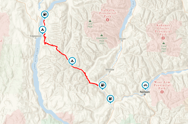
Kootenay Lake Ferry
The Kootenay Lake ferry runs across Kootenay Lake, 35 kilometres east of Nelson on Highway 3A, between Balfour (west side) and Kootenay Bay (east side),
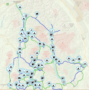
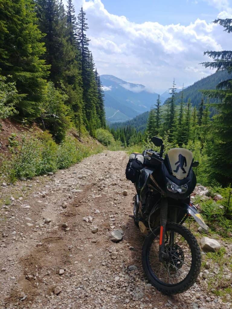
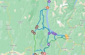
West Kootenays
So much amazingness in the West Kootenays to explore! Smooth, twisty roads and stellar backcounty. It’s all here to download in one PACK. Get the
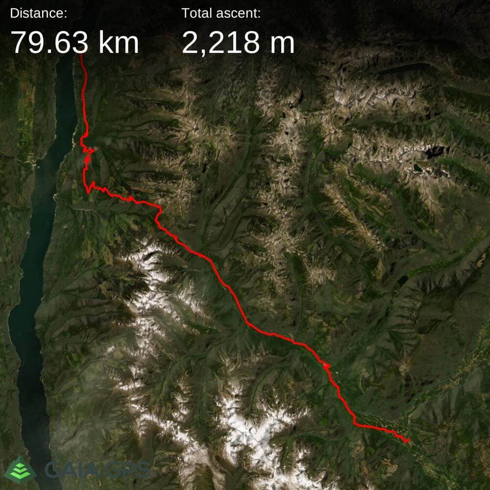
Ride Report – The Invermere Excursion
With the last week of August upon us, the summer was quickly disappearing. After almost 4 months, MissVelocity’s broken leg was finally strong enough to