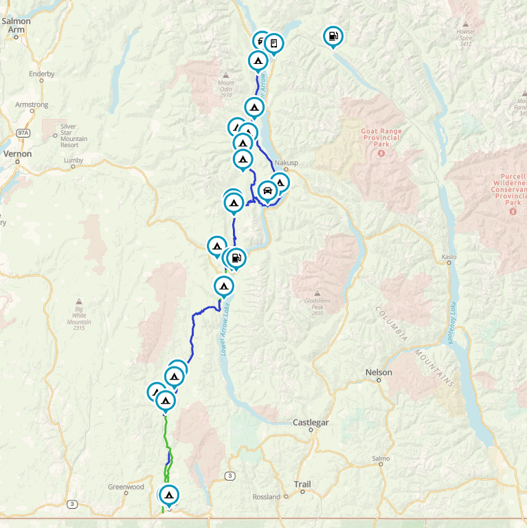
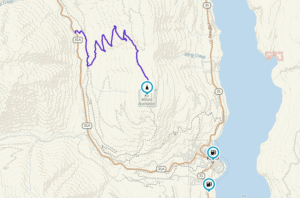
Buchanan Lookout
The Buchanan Lookout stands tall at 1,912 m (6,272 Ft) and offers stunning views of the Kootenay Lake, Kokanee Glacier Provincial Park, Goat Range Provincial
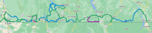
Canadian Border Patrol
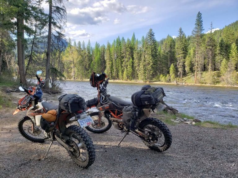
Welcome to the Canadian Border Patrol! Almost 800km stretching from the Nighthawk Border crossing to the Roosville Crossing, travelling on as much dirt and backroads
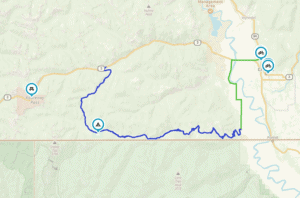
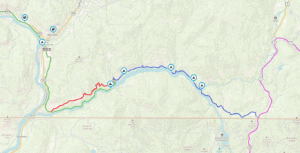
Boundary Lake Bypass Route
Here’s a sneaky and scenic little bypass to get you from the Kootenay Summit to Creston. It takes you along just North of the border
Pend-d’Oreille River route
The Pend Oreille River is a tributary of the Columbia River, approximately 130 miles long, in northern Idaho and northeastern Washington in the United States,
Lemon Creek Route
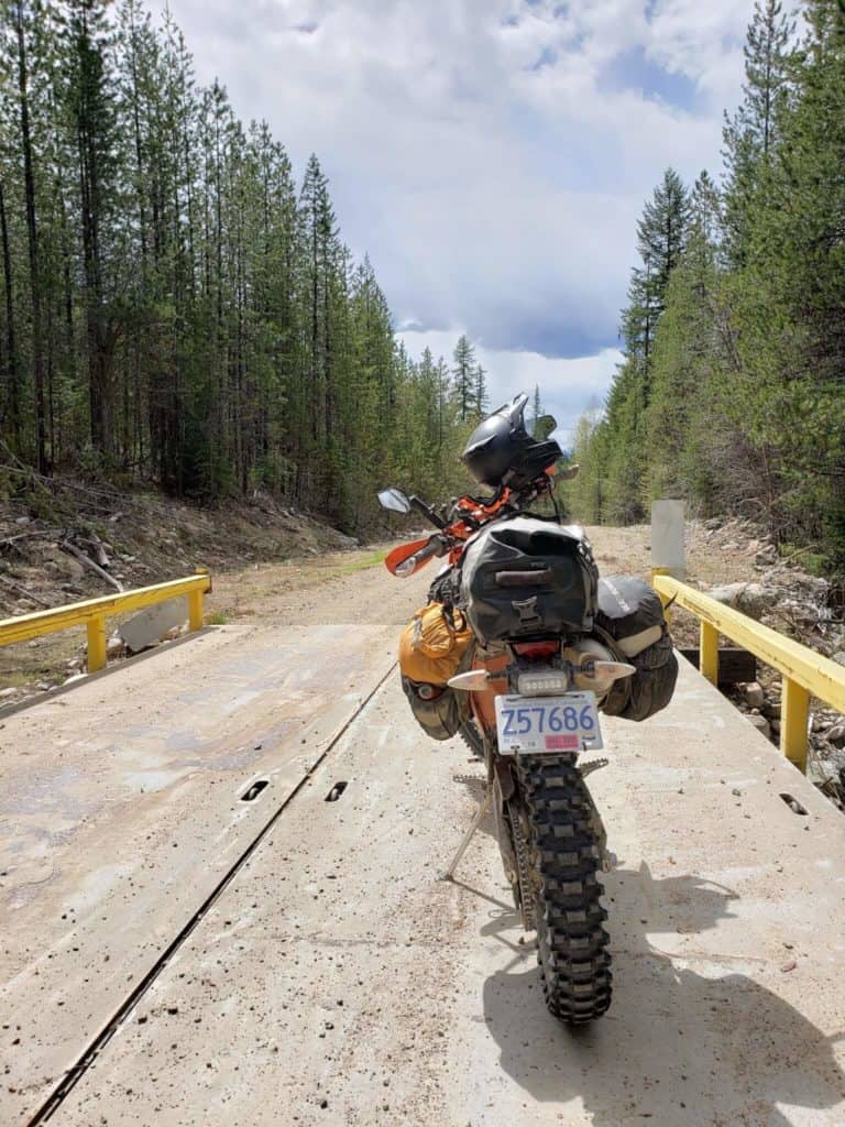
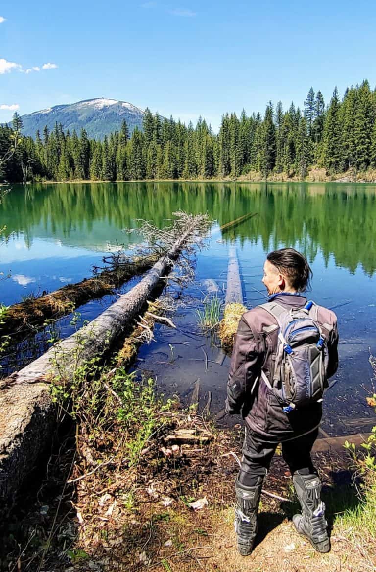
Heading up Six Mile Lake and down Lemon Creek is a classic dual-sport ride. The typical loop is just up, down and back on the
Nakusp
Welcome to Nakusp! The village is a vibrant, safe and friendly lakeshore community nestled on the shores of Upper Arrow Lake in the West Kootenay